

Sweet Connie
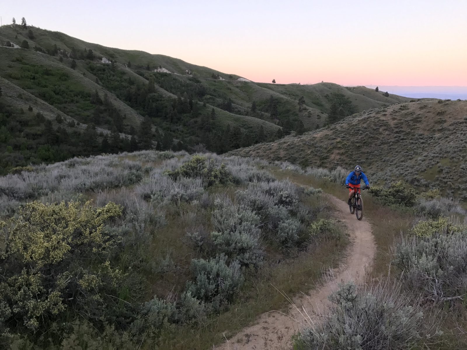
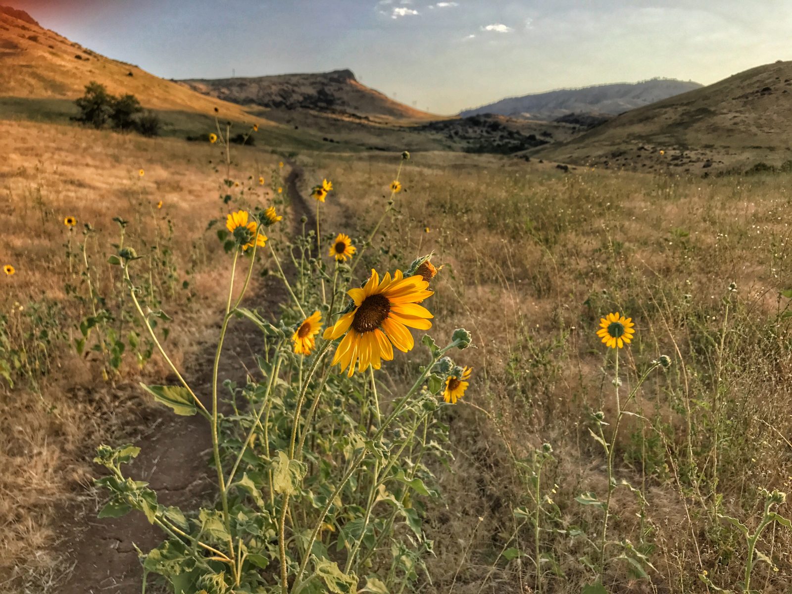
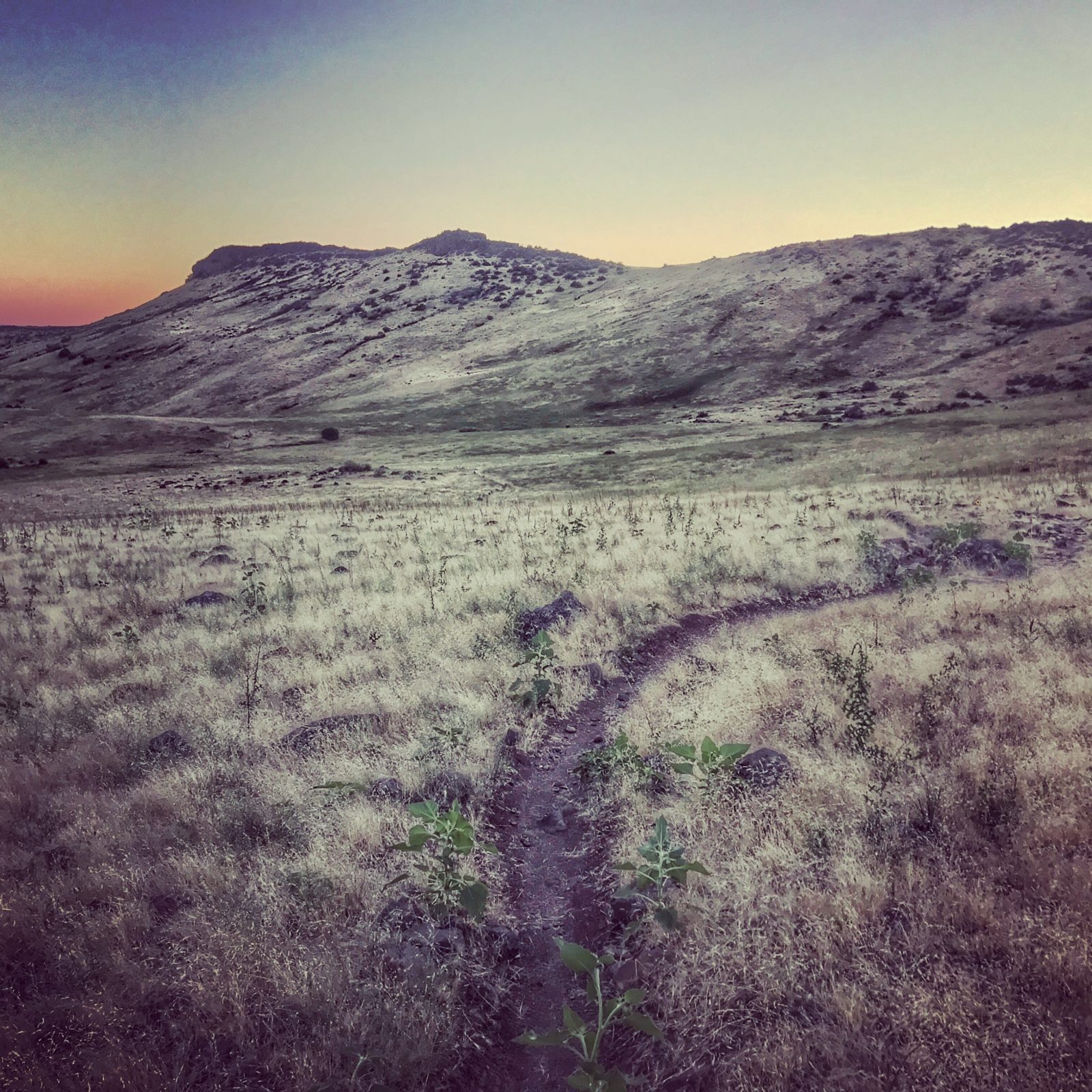
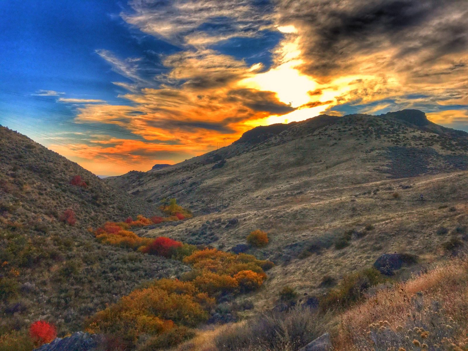
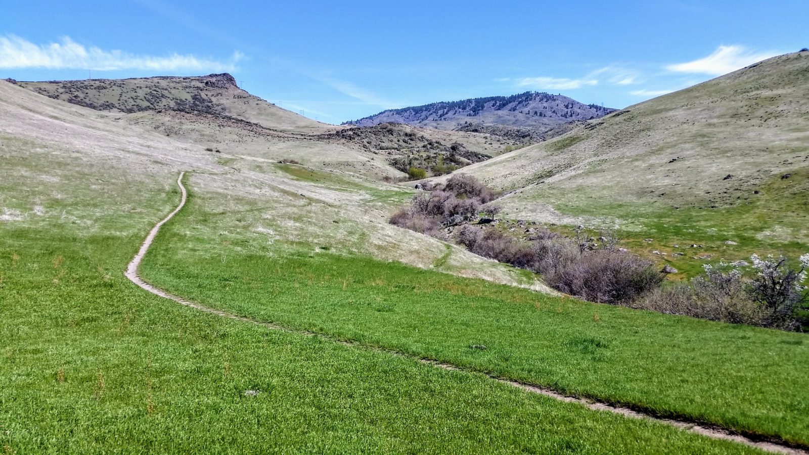
Sweet Connie has long been one of the best descents in the Boise area. For years, it was an “underground,” semi-secret trail. The purists of that era will hasten to point out that the trail is actually called “Sweet Sweet Connie,” named after a Grand Funk Railroad lyric about a famous rock groupie. Now the trail has been officially adopted, slightly sanitized, and offered to the masses. As a result, it is now a popular bi-directional trail and one of the best routes up into the pines. And that’s part of what makes this trail so great: it’s 6 miles of true singletrack, with several different personalities along the way, including high desert rock rollers, lava rock fields, open meadows, lazy creekside sections, hillside switchbacks, and finally, the tree line.
Recent Trail Reports
June 12, 2020 at 8:38 amTrail's in great shape. Watch for branches spreading into the trail space.
July 23, 2019 at 11:19 amwatch your head along the stream, there are some big branches that have started leaning over the trail.
April 29, 2019 at 8:59 pmClimbed Chukar and tried to continue up Conies because the meadow was dry. The climb up to the lava rocks is 4-8" v-ruts the most of the way up. Walked my bike up a good portion but turned back when I realized the lava rock area was in similar shape. No mud but unrideable until serious maintenance takes place.
April 15, 2019 at 8:04 amRidge to Rivers has been asking people not to use this section of trail via their website for the past week. It's going to remain muddy for quite some time.
April 13, 2019 at 10:59 pmThe start of Sweet Connie's to Peggy's is in good shape. The streams are full so there are a few water crossings. Once you get to Chuckar it's pretty much a swamp. Had to turn around. It looked like some cattle (. . . or very heavy sheep) decided to follow the trail and tore it up. There's a stream going down the trail that carved a deep rut. It's a mess and needs a lot more time before it's ready.
April 1, 2019 at 9:18 amEven the lower stuff between Chuckar and Peggy's is muddy. Avoid.
September 16, 2018 at 10:45 amRattlesnake in the trail, above intersection with Peggy's. Just be aware, if you're out with your dog or something, the rattlers are still out. It was a beautiful snake, by the way. The trail is dry, but in great shape and riding fast.


Trail’s in great shape. Watch for branches spreading into the trail space.
watch your head along the stream, there are some big branches that have started leaning over the trail.
Climbed Chukar and tried to continue up Conies because the meadow was dry. The climb up to the lava rocks is 4-8″ v-ruts the most of the way up. Walked my bike up a good portion but turned back when I realized the lava rock area was in similar shape. No mud but unrideable until serious maintenance takes place.
Ridge to Rivers has been asking people not to use this section of trail via their website for the past week. It’s going to remain muddy for quite some time.
The start of Sweet Connie’s to Peggy’s is in good shape. The streams are full so there are a few water crossings. Once you get to Chuckar it’s pretty much a swamp. Had to turn around. It looked like some cattle (. . . or very heavy sheep) decided to follow the trail and tore it up. There’s a stream going down the trail that carved a deep rut. It’s a mess and needs a lot more time before it’s ready.
Even the lower stuff between Chuckar and Peggy’s is muddy. Avoid.
Rattlesnake in the trail, above intersection with Peggy’s. Just be aware, if you’re out with your dog or something, the rattlers are still out. It was a beautiful snake, by the way. The trail is dry, but in great shape and riding fast.
There is some rough trail from cattle traffic and rutting from water runoff but overall in good shape. Totally dry as of 1:00 pm today
What started out as a beautiful hike on Sweet Sweet Connie turned into a muddy run for your life hike on the way back. That thunderstorm rolled in when i was a mere .5 mile from the top—had lighting strike around me so I opted to chill under one of the big pines for a while and then quickly made my way down. The trail was pretty much a river on the upper part and then in the flat meadowy parts it was a slip and slide mud fest. Sorry Sweet Connie, I always try to stay off muddy trails but the storm today gave me no choice!! I’ll be back for that half mile!
???
From BB road it is in excellent Shape up to the lava rock section where there is still a tiny bit of tacky clay. It should fully dry up in the next day. Runoff water puddles exist in the more sandy upper section. Dry and a little rutty in the upper section to the top. Right by the big log at the top is a snow drift across the trail. Looks like stack rock from Connie will have snow patches.
Short hike up Sweet Connie from Bogus Basin Road, went up Peggy’s (not on the trail list??) a bit and had to turn around due to mud. Snow patches and packed snow in places but sadly the trails are tiring muddy and soft. Did 3.5 miles round trip.
Dropped into Connie off Radio Tower yesterday. Only about 40 foot patch of snow at the big tree at the very beginning of Connie and then it’s hero dirt all the way to the town floor. I took Chukkar to Hidden Springs and there was not a single puddle or any peanut butter along the way. February craziness. Go shred!
Sweet Connie just below the intersection with Chukar Butte was relatively dry. I can only imagine that the lower half coming up from Bogus Basin Road is the same and likely suitable to be on. I did not go above the Chukar Butte intersection so I can’t speak to conditions there. Likely some snow at some point.